Imagine you crashed your drone (ok, nobody actually crashes so let’s call it an “unintentional landing”) in a forested area. You’ve used the Marco Polo system to track your drone into the forest. You may eventually come to a place where you have a very high signal level on the locator but you are receiving either no bearing indications or confusing readings. You know your drone is close by, but where is it? It’s possible your aircraft is above you in the tree canopy but impossible to see.
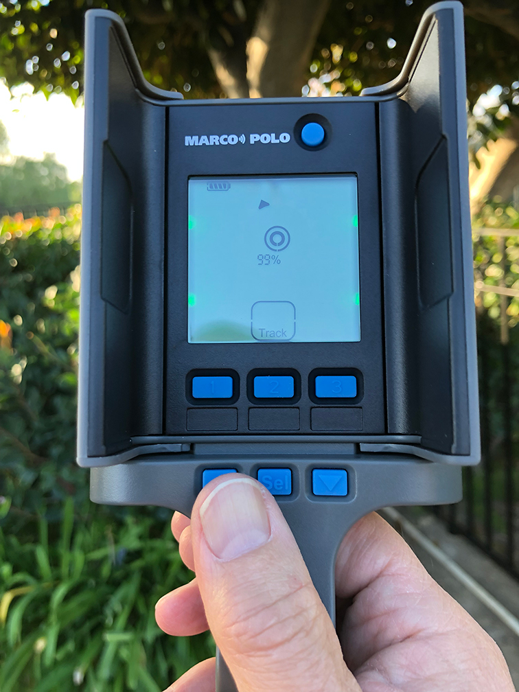
So now what? Simple, you do is something we warn you NEVER to do during a normal ground search – hold the locator pointing straight up as though you were looking into a hand mirror. Now, instead of measuring azimuth about the horizon, it is measuring the elevation angle in the plane of the LCD display. To find the point that is directly under the tracking tag, pick a direction to face, let’s say North. Now, step sideways with the bottom of the locator facing north and the plane of the LCD being East and West. Move sideways, East or West until the directional arrow points straight up. Now, turn to face 90 degrees to the original direction, let’s say West. Now move sideways North and South until the arrow points straight up again. You might turn North again to see if you need to correct your position. When you get to the point where the arrow points straight up when facing North and West, then you are directly under the tag.
This sounds a lot more complicated than it really is. We recommend you practice this technique a few times to become familiar with the steps outlined above, especially if you plan on flying around trees or other objects where your drone could “unintentionally land” high off the ground.


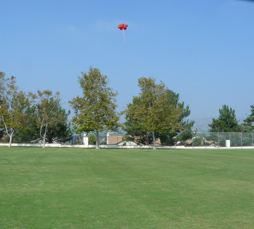
There may be other times when an elevation reading is useful. In the attached photo a Marco Polo tag was suspended from helium balloons and the elevation tracked. Imagine that this was a descending rocket, or a drone that crashed on the side of a cliff and you would like to know if it is near the top or bottom of the cliff. You will find your own uses now that you have started to think of the directional display in 3 dimensions!
